Tropical Rainstorm Predicted to Impact Florida with Heavy Rainfall
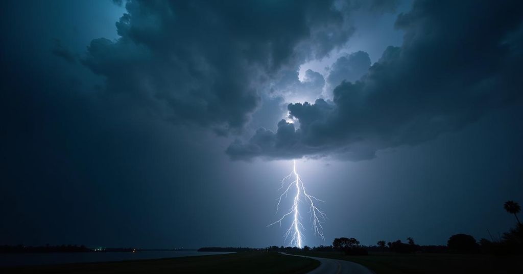
A tropical rainstorm brewing in the Gulf of Mexico may bring up to a foot of rain to Florida from Saturday night through Thursday, with southern and central regions facing the greatest impact. Major flooding is likely in Miami and Fort Lauderdale, while other areas may see significantly less rainfall. Experts indicate a 40% chance of a named storm developing in the Gulf, but chances are higher for just deep tropical moisture affecting the state with heavy downpours.
A significant tropical rainstorm is developing in the Gulf of Mexico and is projected to inundate Florida with rainfall amounts potentially reaching twelve inches. This extensive storm is anticipated to persist from Saturday evening and extend through Thursday, with the most affected regions expected to be Miami and Fort Lauderdale, where flooding conditions may arise. Weather forecasts suggest that much of the southern and central Florida Peninsula could receive between four to eight inches of rain, with localized incidents of up to twelve inches. In contrast, northern areas may experience considerably lighter rainfall, potentially mitigating the adverse effects on locations previously affected by Tropical Storm Helene. This impending rainstorm appears concurrent with an uptick in tropical activity throughout the Atlantic region. Notably, Hurricane Kirk approached Category 5 strength at the beginning of Friday, while Tropical Storm Leslie, situated between the Lesser Antilles and Africa, is also showing signs of potential hurricane development. Nevertheless, current projections indicate that both systems are likely to remain over open waters, imposing no direct threats to land. The 2024 Atlantic hurricane season has demonstrated unusual patterns thus far. It commenced with expectations of being highly active, with Hurricane Beryl being noted as the earliest recorded Category 5 storm in the Atlantic, emerging in early July. However, a prolonged lull ensued from mid-August into September, which has not been observed since 1968. The National Hurricane Center estimates a 40 percent probability that a named storm may form within the Gulf of Mexico over the coming week. Presently, a large area of unorganized spin remains located over the Gulf. Predictions, particularly from the European meteorological models, suggest that if this area consolidates, it may give rise to a tropical storm, with “Milton” being the next designated name on the list. Should a storm materialize, it is likely to develop within the southwestern Gulf of Mexico, potentially near the Bay of Campeche, and may drift eastward or east-northeastward. However, prevailing adverse winds are expected to hinder a structured development; therefore, the formation of anything exceeding a low-end hurricane appears unlikely. In terms of the most likely areas to be impacted and the associated timing, it is anticipated that the broad and unorganized nature of the weather disturbance will continue, likely resulting in significant tropical moisture remaining in the Gulf. This will contribute to heavy rainfall patterns affecting regions south of Tampa, Orlando, and Daytona. Forecasts predict these areas could accumulate between four to eight inches of rain from Saturday evening until Thursday, with localized totals surpassing a foot, raising concerns about flooding in urban settings.
This article discusses the upcoming tropical rainstorm expected to impact Florida, providing information about its potential rainfall, affected areas, and the broader context of the 2024 Atlantic hurricane season. It outlines the specific conditions that may arise due to the anticipated storm, including potential flooding and heavy rain accumulation, particularly in southern and central Florida, while also touching on other hurricane activities occurring in the Atlantic.
In summary, Florida is expected to face the repercussions of a tropical rainstorm bringing substantial rainfall, with the greatest impact forecasted for the southern and central regions of the state. While the potential for a named tropical storm developing in the Gulf exists, it is more probable that the area will remain characterized by broad, disorganized moisture, leading to repetitive heavy rain events. Residents, particularly in urban areas, should remain vigilant about possible flooding.
Original Source: www.washingtonpost.com