Clipper and Coastal Storms Forecast to Affect Northeast Travel Before Christmas

A Midwest clipper storm is set to bring snowfall and slippery conditions to the Northeast before Christmas. Travel disruptions are expected, particularly during a busy holiday travel period, compounded by a coastal storm adding more snowfall. Travelers should prepare for hazardous conditions and potential delays.
The impending arrival of a Midwest clipper storm is set to impact the Northeast, delivering snowfall and creating slippery travel conditions in the lead-up to Christmas. Starting from December 17-18, wintry weather has already traversed from the Dakotas to New England, and as the weekend approaches, complications are expected to increase due to a coastal storm forming along the Atlantic coast.
Currently, the clipper storm is progressing southeastward across the Upper Midwest, with regions such as Fargo, North Dakota, Minneapolis, and Madison, Wisconsin experiencing several inches of snow by midday Thursday. Major cities including Chicago, Milwaukee, and Detroit are also bracing for a few inches of snow overnight. These weather conditions are anticipated to generate considerable delays across various travel routes, particularly along the Interstate 80/90 corridor, and could affect air travel as well.
As the storm continues its path towards the central Appalachians on Friday night, it will exacerbate snow conditions, causing uneven snowfall accumulation throughout West Virginia, northern Maryland, and other states, with some areas potentially receiving several inches. “The danger is the snow can quickly erupt and come down at a steady clip in some areas during the afternoon and evening rush hour on Friday in the Northeast,” stated AccuWeather Chief On-Air Meteorologist Bernie Rayno. He noted that metropolitan areas such as New York City and Philadelphia should prepare for hazardous conditions.
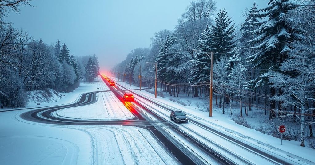
With Christmas fast approaching, increased traffic is expected on the roads, leading to conditions that could turn treacherous with significant snowfall potentially transforming roadways into hazardous zones. Deicing measures will be vital across mid-Atlantic airports and travel corridors as conditions worsen.
Additionally, a coastal storm could strengthen and bring heavy snow and increased winds particularly affecting eastern Massachusetts, Rhode Island, and Down East Maine, with extended impacts reaching Long Island, New York and other coastal areas. As noted, “Conditions around New York City are tricky,” which implies varying snowfall outcomes depending on the coastal storm’s trajectory.
As the winter season officially begins early Saturday morning, there is a likelihood that the snow will linger in certain regions until Christmas day, posing further travel challenges for individuals heading out for the holidays.
The article discusses the weather forecast related to a Midwest clipper storm that is poised to affect the Northeastern United States leading up to Christmas. It highlights the progression of wintry weather from the Midwest to areas as far as the Dakotas and New England, expanding problems due to an impending coastal storm, thereby creating hazardous travel conditions during a busy holiday travel period. The information provided serves as a warning for travelers as they prepare for increased snowfall and potentially severe weather.
In summary, the combination of a Midwest clipper storm and an approaching coastal storm is likely to result in significant snowfall and travel disruptions in the Northeast prior to Christmas. Travelers should remain vigilant as conditions are forecasted to worsen, particularly during peak travel times. Preparations for slippery roads and potential flight delays are crucial as the storms develop, making safety a priority as the holiday approaches.
Original Source: www.accuweather.com


