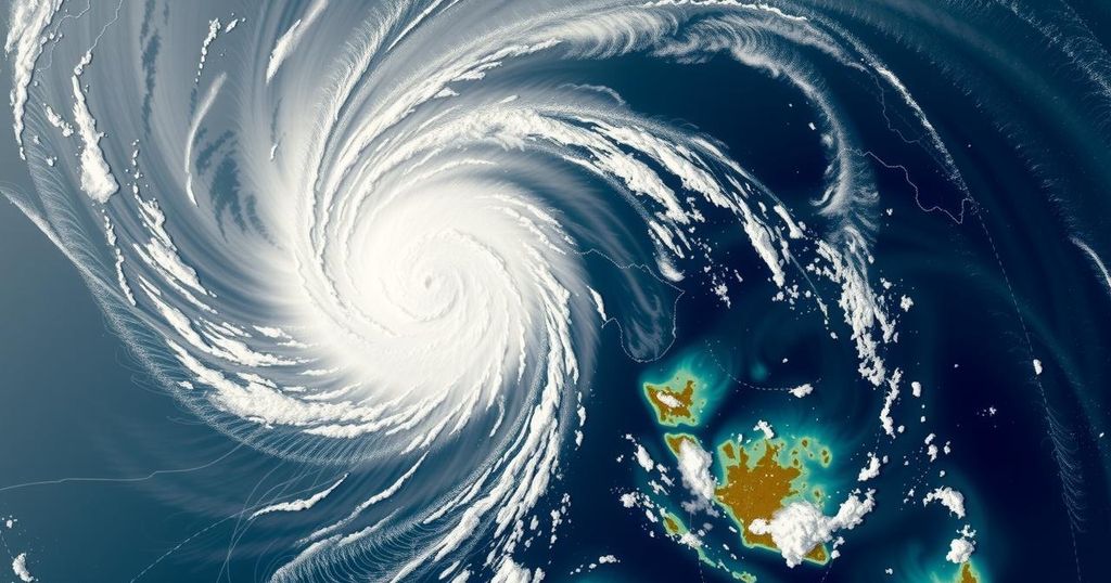
Satellite Imagery Captures Cyclone Chido’s Impact on Mayotte

European satellite imagery has documented Cyclone Chido as it struck Mayotte, a French island in the Indian Ocean. The cyclone brought powerful winds and heavy rain, necessitating emergency responses. This event underscores the significance of monitoring tropical cyclones, especially in vulnerable island communities.
Satellite imagery from European weather satellites has captured compelling footage of Cyclone Chido making landfall on the French island of Mayotte, located in the Indian Ocean. The cyclone’s arrival was marked by intense winds and heavy rainfall, which resulted in significant impacts on the local environment and infrastructure. As a tropical cyclone, Chido developed rapidly, prompting warnings from meteorologists and initiating emergency preparedness measures across the island.
Mayotte, a semi-autonomous region of France, lies between Madagascar and the coast of Mozambique. The island is prone to tropical cyclones, particularly during the southern hemisphere’s cyclone season, which typically runs from November to April. The monitoring of such weather events is critical for timely evacuations and minimizing damage. Cyclone Chido is one of the many storms recorded in the region, emphasizing the need for ongoing research and improvements in disaster response strategies.
In conclusion, Cyclone Chido’s impact on Mayotte highlights the vulnerability of island regions to severe weather events. The satellite imagery serves as an essential tool for understanding and responding to such natural disasters. Continued advancements in meteorological technology and effective preparedness strategies will be vital in mitigating the effects of future cyclones.
Original Source: apnews.com


