Record Flooding in Spain: The Impact of Severe Storms and Saharan Dust

A devastating storm over Spain on October 30, 2024, led to record rainfall and severe flooding, particularly in the eastern and southeastern regions. The NOAA-20 satellite captured images of the storm, which included Saharan dust being transported into the system. Emergency alerts were issued following extensive damage to infrastructure and significant rainfall records.
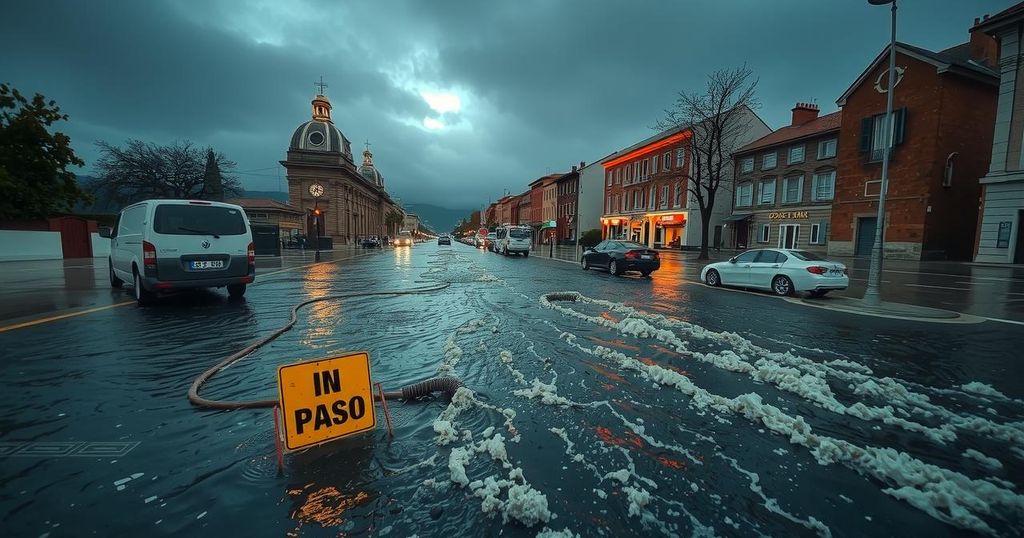
On October 30, 2024, the NOAA-20 satellite captured an extraordinary image of a violent storm wreaking havoc over Spain, which was responsible for unprecedented rainfall across the country. This event was further complicated by the presence of Saharan dust being transported from Africa, contributing to the storm’s intensity. The regions of eastern and southeastern Spain experienced a barrage of rain, resulting in dire consequences for the infrastructure. Reports from meteorologists indicated that some locations received rainfall equivalent to an entire year’s worth in merely eight hours. This extreme weather event caused severe flooding, demolishing bridges, collapsing buildings, and obstructing highways. The alarming conditions prompted Spain’s meteorological agency to issue an emergency alert for Valencia’s coastal area, following the city’s highest rainfall recorded in 24 years. The imagery of this weather phenomenon was obtained through the Visible Infrared Imaging Radiometer Suite (VIIRS) on the NOAA-20 satellite, which conducts twice-daily scans of the Earth at a resolution of 750 meters. Utilizing both visible and infrared channels, the VIIRS sensor can detect various atmospheric aerosols, including dust and smoke, which are indicative of pollution and fire activity. NOAA-20 is part of the Joint Polar Satellite System (JPSS), a cutting-edge collaboration between NOAA and NASA, providing critical data for severe weather forecasting and environmental observation.
The National Oceanic and Atmospheric Administration (NOAA) operates a series of advanced polar-orbiting satellites to monitor atmospheric and environmental changes. The Joint Polar Satellite System (JPSS), which includes NOAA-20 among others, plays a vital role in forecasting severe weather events and understanding environmental phenomena. These satellites are equipped with sophisticated instruments that collect and disseminate data crucial for timely weather predictions. The growing concerns regarding extreme weather patterns, influenced by climate change, necessitate advanced monitoring and tracking of such events.
In summary, the violent storm that struck Spain on October 30, 2024, led to unprecedented rainfall, resulting in catastrophic flooding and significant infrastructure damage. Satellite imagery from NOAA-20 provided crucial insights into the storm’s characteristics, including the incorporation of Saharan dust. This event highlights the importance of advanced satellite systems, such as the Joint Polar Satellite System, in predicting and responding to severe weather phenomena.
Original Source: www.nesdis.noaa.gov


