Severe Weather Events in Spain and Beyond: An Overview

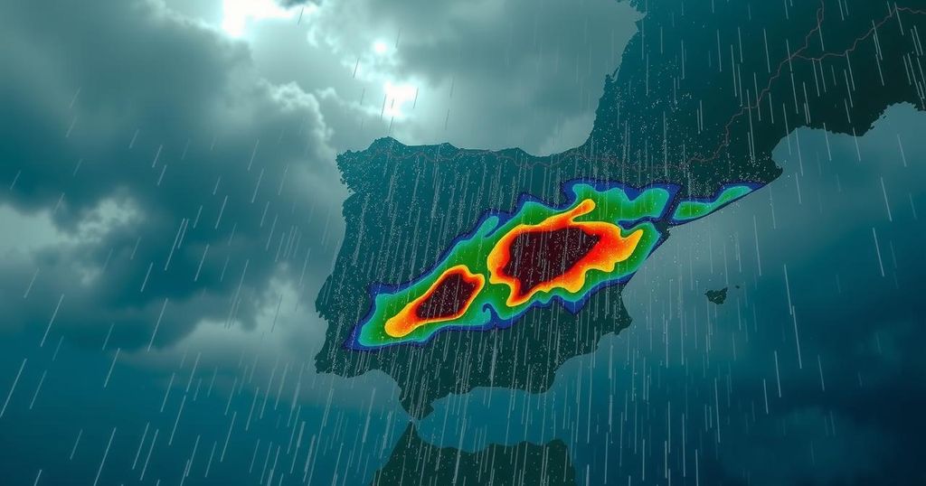
Spain is facing a severe weather event with rainfall exceeding 150mm in some regions due to a “gota fría.” Meanwhile, the US is experiencing unseasonably warm night temperatures, and Tropical Storm Kong-rey is likely to impact Taiwan. These developments highlight the unpredictable nature of weather phenomena.
Spain is bracing for an exceptional weather phenomenon this week, as forecasts predict intense rainfall along the eastern coast. Areas such as Valencia, Catalonia, Murcia, and eastern Andalucía may experience up to 150mm of rain in a 24-hour period on Tuesday, a staggering amount that is over seven times the average for this time of year. Additionally, Gibraltar anticipates significant rainfall, with totals surpassing 40mm. This heavy downpour is expected to result from a “gota fría,” or “cold drop,” a weather event that occurs when cold air interacts with the warm waters of the Mediterranean Sea. This seasonal occurrence engenders atmospheric instability, prompting warm, saturated air to ascend swiftly, resulting in the rapid formation of towering cumulonimbus clouds that release substantial rain across eastern Spain. The phenomenon, officially termed “depresión aislada en niveles altos” (abbreviated as “Dana” by Spanish meteorologists), refers to an isolated depression at high altitudes. Such conditions can lead to torrential downpours, hailstorms, thunderstorms, and severe flooding, although predicting the specific areas most affected can be challenging due to the localized nature of gota fría events. Meanwhile, in the United States, residents are expected to endure unseasonably warm night-time temperatures. Cities including Chicago, Houston, Dallas, San Antonio, and Fort Worth may experience nighttime lows exceeding 20°C, which is more than 9°C above seasonal averages. This anomalous warmth is due to a southerly air current that draws warm air from the Gulf of Mexico. Additionally, Tropical Storm Kong-rey is currently progressing north-westward in the North Pacific Ocean and is anticipated to approach Taiwan early this week, with the potential for landfall on Thursday morning. This storm is rapidly intensifying and may escalate into a typhoon. Kong-rey is predicted to deliver heavy rainfall and strong winds, with accumulations exceeding 300mm in northern Taiwan, alongside wind gusts that could surpass 100mph. However, it is crucial to acknowledge that the storm’s exact trajectory remains uncertain and may shift significantly in the forthcoming days.
The phenomenon of “gota fría” is a well-known meteorological occurrence in Spain, particularly affecting the eastern coastal regions. It is characterized by the interaction of cold air with warm sea waters, leading to significant weather changes. This weekly weather forecast underlines the importance of understanding such patterns, as they can have drastic effects on the region’s climate and ecology. Furthermore, the phenomenon can disrupt daily life through flooding and related hazards. The occurrence of unusually high temperatures in the United States and the potential intensification of Tropical Storm Kong-rey highlight the global impacts of atmospheric changes and the interconnectedness of weather systems.
In summary, Spain is poised to encounter an extraordinary weather event characterized by heavy rainfall resulting from a gota fría. The predicted rainfall will vastly exceed typical September averages, underscoring the unpredictability of localized weather phenomena. Simultaneously, the US experiences an unusual warm spell, while Tropical Storm Kong-rey poses a potential threat to Taiwan. These events exemplify the dynamic nature of weather systems and their capability to interrupt normal patterns significantly.
Original Source: www.theguardian.com


