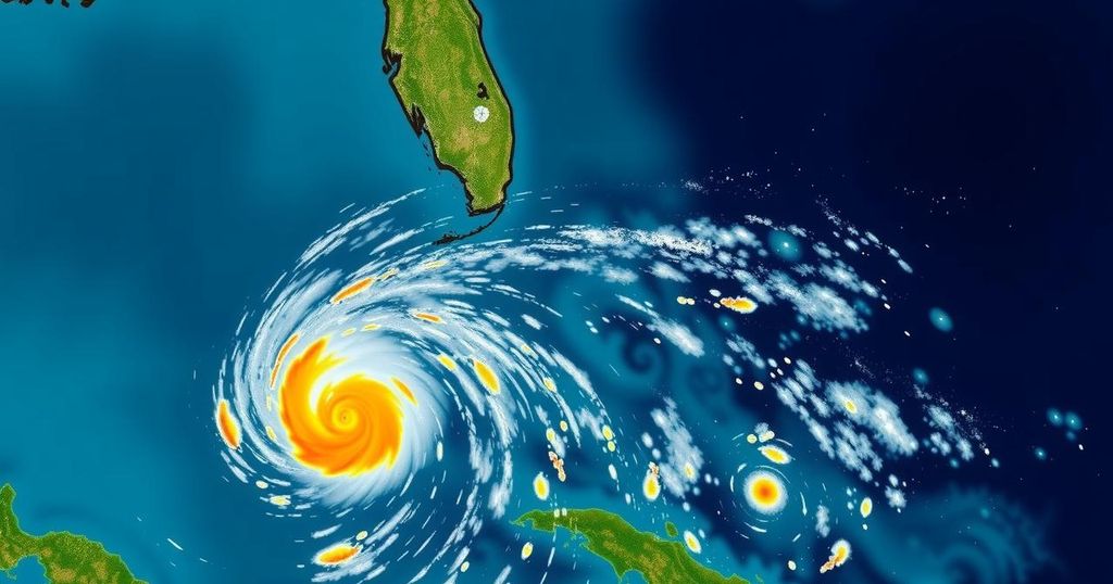
National Hurricane Center Updates on Invests 94L and 95L: Implications for Florida

The National Hurricane Center is tracking Invests 94L and 95L, neither of which currently threatens Florida. Invest 94L is expected to impact Puerto Rico, while Invest 95L may affect Central America. No significant tropical development is predicted for Florida over the next ten days, providing some relief to residents recovering from previous storms.
The National Hurricane Center (NHC) is monitoring two weather systems designated as Invest 94L and Invest 95L. Fortunately for residents of Florida, neither system poses a current threat to the state. Invest 94L, which had previously shown potential for developing into Tropical Storm Nadine, is expected to bring heavy rainfall to Puerto Rico and Hispaniola. Meanwhile, Invest 95L may develop into a short-lived tropical depression or even Tropical Storm Nadine, potentially affecting Central America and Mexico by Saturday, as reported by the NHC. In positive news, forecasts from Colorado State University meteorologists indicate that no tropical development is anticipated over the next ten days, providing relief to residents still recovering from Hurricanes Helene and Milton. The next named storms for this season are likely to be Nadine and Oscar. Meteorologists have highlighted a 50% chance of further tropical development in the western Caribbean from October 15 through October 28, although current signals are weak. “Wind shear anomalies are forecast to be somewhat below normal during the two-week period in the Caribbean,” which suggests a likelihood of additional tropical cyclone formation, according to experts. Despite a historical context where late-season hurricane threats to Florida are rare, additional named storms may still occur, particularly from late October into mid-November when favorable conditions may arise. As of October 18, Invest 94L continues to exhibit a low chance of development, with strong upper-level winds expected to hinder any significant changes. For Invest 95L, however, conditions appear more conducive for development within the next couple of days, making it important for residents of Belize and Mexico’s Yucatan Peninsula to stay alert for potential tropical storm warnings. Currently, the NHC is not tracking any additional disturbances within the Atlantic basin. The organization uses the term “invest” for areas that are under scrutiny for potential tropical development, which allows for the collection of specialized data and modeling as the situation evolves. In summary, while Invest 94L and Invest 95L are being monitored closely, Florida remains safe from any immediate tropical threats, although monitoring will continue as the hurricane season progresses through its typical timeframe of June 1 to November 30.
The Atlantic hurricane season stretches from June 1 through November 30 each year, marked by the occurrence of tropical storms and hurricanes. The National Hurricane Center plays a critical role in tracking and monitoring these weather systems, particularly through designations such as “invest,” which refers to areas of interest that may develop into more substantial weather phenomena. Florida is frequently impacted by tropical activity, making it essential for residents and officials to stay informed about potential threats. Historically, the likelihood of major hurricanes making landfall in Florida decreases significantly after late October, a point particularly notable for communities still recovering from earlier storms.
In conclusion, the National Hurricane Center’s recent updates reassure that neither Invest 94L nor Invest 95L poses a direct threat to Florida at this time. With no new developments anticipated in the coming days, residents can feel some relief, although they should remain vigilant for any changes in the weather systems as tropical activity continues to be monitored closely.
Original Source: www.palmbeachpost.com


