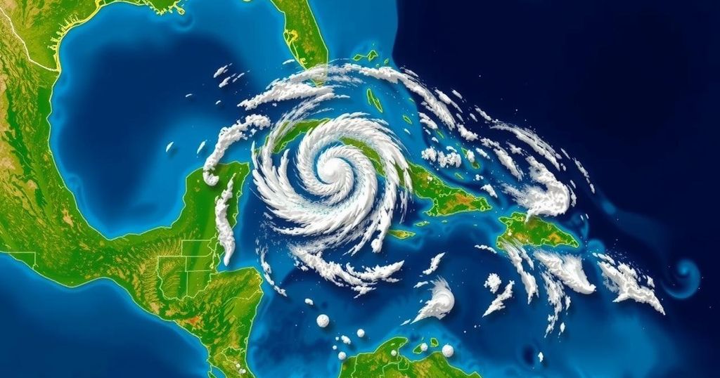
Tropical Storm Nadine Develops Near Belize Without Immediate Threat to Florida

Tropical Storm Nadine is currently situated near Belize, with anticipated landfall expected later today and rainfall amounts ranging from 4 to 12 inches. Another weather system is developing north of Puerto Rico, with a 60% chance of becoming a tropical storm. The Atlantic hurricane season thus far has seen 14 named storms, including three that affected Florida.
On Saturday, the National Hurricane Center commenced monitoring Tropical Storm Nadine, as well as another weather system predicted to develop in the northwestern Caribbean Sea. At 8 a.m., Tropical Storm Nadine was positioned approximately 60 miles east of Belize City and 105 miles southeast of Chetumal, Mexico, with maximum sustained winds recorded at 45 mph and a westward movement of 9 mph. Furthermore, winds reaching tropical storm-force extended outward up to 230 miles from the storm’s center. Forecast analyses indicate an anticipated acceleration in Nadine’s forward speed throughout the day and night. Projections suggest that the storm will make landfall along the Belize coast in the late morning or early afternoon, subsequently advancing across northern Guatemala and southeastern Mexico by late afternoon into the evening. However, a weakening trend is expected to commence once Nadine moves inland, with forecasters estimating that the system may dissipate over southeastern Mexico by early Sunday. Rainfall projections for Nadine suggest a potential accumulation of 4 to 8 inches, with localized areas possibly receiving up to 12 inches, particularly across northern Belize, northern Guatemala, and southern Mexican states extending from Quintana Roo to Veracruz. In addition to Nadine, another system is currently being evaluated, stretching more than 100 miles north of Puerto Rico and the Virgin Islands. This low-pressure trough is associated with various showers and thunderstorms. Forecasters indicated that recent passive microwave imagery implies a well-defined surface circulation may be forming. Should these developments persist, it is possible that a tropical depression or storm could emerge later today as the system progresses generally westward at speeds of 10 to 15 mph. The anticipated trajectory places this system north of Hispaniola today, moving near the Turks and Caicos Islands, southeastern Bahamas, and extreme eastern Cuba by Sunday. The National Hurricane Center has assessed this system’s development potential at 60% over the next two days. To date, the 2024 Atlantic hurricane season has recorded 14 named storms, including nine hurricanes, three of which impacted Florida. The season has also noted two potential tropical cyclones; the first failed to develop before reaching land in September, thereby explaining the National Hurricane Center’s numbering scheme reaching 15 despite only 14 named storms thus far. It is important to note that the hurricane season is expected to continue until November 30.
The tropical storm season is a critical period for regions located in areas prone to hurricane activity, particularly in the Atlantic and Caribbean. The seasonal timeline runs from June 1 to November 30, during which the National Hurricane Center (NHC) closely monitors atmospheric conditions that could lead to the formation of tropical systems. This article addresses the current status of Tropical Storm Nadine, its expected path, and necessary precautions for affected areas, as well as introducing another system that may develop into a tropical storm.
In conclusion, Tropical Storm Nadine is making its approach towards Belize, with expectations of landfall later today and a significant rainfall forecast. Simultaneously, another potential weather system is being analyzed for possible development in the Caribbean. The current hurricane season has thus far been noteworthy, and authorities continue to monitor the progress of these systems, urging residents in the affected areas to remain vigilant and prepared for possible impacts.
Original Source: www.tampabay.com


