Monitoring Tropical Disturbances: Invest #95L and Invest #94L
Bryan Norcross is observing Invest #95L, which maybe develop into Tropical Storm Nadine before making landfall in Belize or Yucatán. Meanwhile, Invest #94L is expected to dissipate with minimal threat. Residents should prepare for high tides along the Florida East Coast.
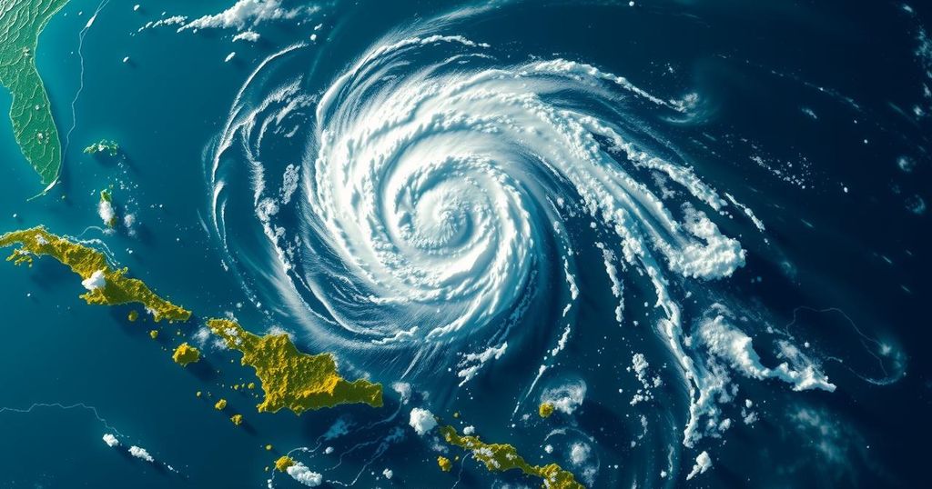
Bryan Norcross is currently monitoring the development of the tropical disturbance designated as Invest 95L, situated near the coasts of Nicaragua and Honduras. This weather system is projected to track westward today, remaining just offshore of Honduras before heading towards Belize and the Yucatán Peninsula in Mexico later tonight. The National Hurricane Center has assessed this system and provided a medium probability of it briefly developing into either a tropical depression or tropical storm before it makes landfall early tomorrow. While the consensus from computer models suggests that the system is unlikely to strengthen significantly, it has the potential to be classified as Tropical Storm Nadine just prior to landfall. The strongest winds associated with this disturbance are currently located north of its center, indicating that regions north of the Yucatán landfall point are expected to experience the most intense onshore winds by tomorrow morning, currently estimated at 30 to 35 mph, with a possibility of increases before landfall. Therefore, residents along the northern coast of Honduras, in Belize, and the Mexican state of Quintana Roo, particularly around Chetumal, should remain vigilant as the system could intensify shortly before touching land. The effects of this system are expected to commence overnight and continue into tomorrow. Additionally, it should be noted that a cold front moving in from the north is likely to create continued breezy conditions along the coast. In terms of another system currently active in the Atlantic, Invest 94L is forecasted to travel through waters just north of Puerto Rico and the Virgin Islands, progressing towards Haiti or the southeastern Bahamas tomorrow. However, it is anticipated that hostile upper atmospheric conditions will dissipate this disturbance by the upcoming Sunday. The National Hurricane Center has indicated a very minimal likelihood of this system developing into a tropical depression, with its rapid movement into a moderately dry atmosphere hindering organization. Regardless of its development, the disturbance is expected to bring moisture to the mountainous islands, potentially resulting in river flooding and mudslides. Importantly, there is no immediate threat to Florida or the southeastern United States from these weather systems. Predictions from meteorological models suggest that the jet stream will remain in a winter-like configuration across the northern Gulf of Mexico and Florida for the remainder of the month, providing a layer of protection for the region. Lastly, along the Florida East Coast, residents should be cautious of elevated tides throughout the weekend due to the occurrence of a Hunter’s Supermoon, which is contributing to King Tides. Persistent winds from the ocean are exacerbating these high tides, and driving through flooded areas is inadvisable due to the detrimental effects of saltwater on vehicles.
The article discusses the monitoring and forecast of two tropical disturbances in the Caribbean, with specific focus on Invest #95L. This disturbance is noted for its potential to develop into a tropical storm as it approaches land. The National Hurricane Center’s assessment reflects the professional meteorological outlook on the system, underscoring the importance of public awareness in regions likely to be affected. Additionally, the article touches on another disturbance, Invest #94L, which is not expected to pose a threat to Florida or the southeastern United States, providing reassurance to residents in those areas.
In summary, the tropical disturbance Invest #95L is being closely monitored, with a reasonable chance of it forming into Tropical Storm Nadine before landfall, likely affecting regions near Belize and the Yucatán Peninsula. In contrast, Invest #94L appears to be dissipating without significant impact. Residents in potentially affected areas should remain informed about developments, while those in Florida should be cautious of high tides resulting from the ongoing meteorological phenomena.
Original Source: www.foxweather.com