Bracing for Cyclone Zelia: Impacts and Expectations for Western Australia
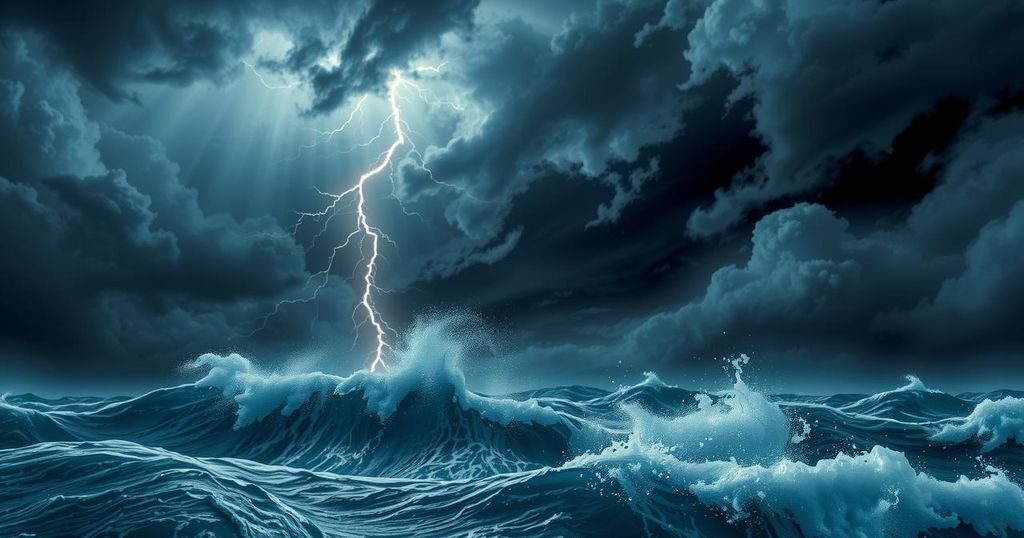
Tropical Cyclone Zelia is set to make landfall on the northwest coast of Australia, primarily impacting Port Hedland. The cyclone is a category five storm with sustained winds of up to 205 km/h and gusts reaching 290 km/h. Climate change is believed to cause the increasing severity of cyclones, leading some experts to suggest a need for a sixth category to describe the intensifying storms.
Severe Tropical Cyclone Zelia is approaching the northwest coast of Australia and is anticipated to make landfall on Friday evening. The town of Port Hedland, which is the most significant in the affected region and serves as the main iron ore export hub, is expected to face devastating impacts. Wind conditions may also affect surrounding areas such as Marble Bar, Tom Price, and Paraburdoo.
Even if Cyclone Zelia does not make direct contact with populated areas, it is expected to induce significant destruction. The Bureau of Meteorology forecasts dangerously strong sustained winds of approximately 205 kilometers per hour, with gusts escalating to 290 kilometers per hour. Such conditions possess the power to annihilate buildings, vegetation, and infrastructure.
This cyclone is classified as category five, representing the utmost severity on the current scale. Due to the increasing impact of climate change, there is a growing call for authorities to consider establishing a sixth category to account for more extreme weather events in the future.
Unlike tropical cyclones, which are often referred to as hurricanes or typhoons in different parts of the world, their intensity is currently classified from 1 to 5. Category one represents the weakest storms, with winds reaching up to 88 km/h, and category five, which signifies extreme danger, has winds exceeding 200 km/h with the potential for widespread devastation.
With climate change exacerbating weather conditions, cyclones are predicted to become increasingly severe and intensify at a rapid rate. Meteorological experts have suggested the need for a sixth category to denote cyclones with sustained winds exceeding 309 km/h in light of escalating climate-related risks.
While it is uncertain whether Cyclone Zelia’s formation directly correlates to climate change, historical research indicates a connection between global warming and intensified tropical cyclones. In light of record-breaking warmth globally, including increasing ocean heat content, the conditions conducive to developing more potent storms have risen.
Recently, Australia has reported unprecedented sea surface temperatures, particularly off its northwest coast, which are 4 to 5 degrees Celsius higher than normal this summer. This mirrors previous events, such as Hurricane Milton, which rapidly escalated into a category five storm due to warm ocean conditions.
Furthermore, climate change has resulted in the slower movement of tropical cyclones, prolonging their impact on land and increasing the likelihood of destruction from wind and flooding. Specifically, Cyclone Zelia is currently advancing at a slow pace of 11 km/h, resulting in extended periods of heavy rainfall and strong winds before and after landfall.
At present, wind speeds near Port Hedland are between 70 and 100 km/h and anticipated to intensify. Though this range is potentially concerning, conditions are expected to worsen significantly throughout the afternoon, especially in eastern Port Hedland. Localized flooding has already occurred from prior rainfall, with railway services disrupted, indicating more severe weather ahead.
The Bureau of Meteorology has forewarned of a significant storm tide, which may lead to elevated sea levels and subsequent flooding of coastal infrastructure. As the cyclone advances inland over the weekend, it may gradually weaken, but communities farther away, including those in mining and Indigenous territories, may still encounter severe weather conditions.
For continuous updates, individuals located in the affected regions are encouraged to visit the Bureau of Meteorology’s website or download the Emergency WA app, which provides essential alerts and warnings regarding the cyclone’s progression.
In summary, Tropical Cyclone Zelia is a formidable category five storm poised to impact Western Australia, particularly around Port Hedland. With expected wind speeds capable of causing extensive damage, authorities highlight the potential links between climate change and increasingly severe cyclonic activity. As the cyclone approaches, preparations and monitoring are paramount to mitigate potential destruction, especially as communities inland brace for heavy rainfall and strong winds. Regular updates from meteorological officials are crucial for public safety.
Original Source: theconversation.com