Central Coast Weather Overview: Chilly Weekend Followed by Rain
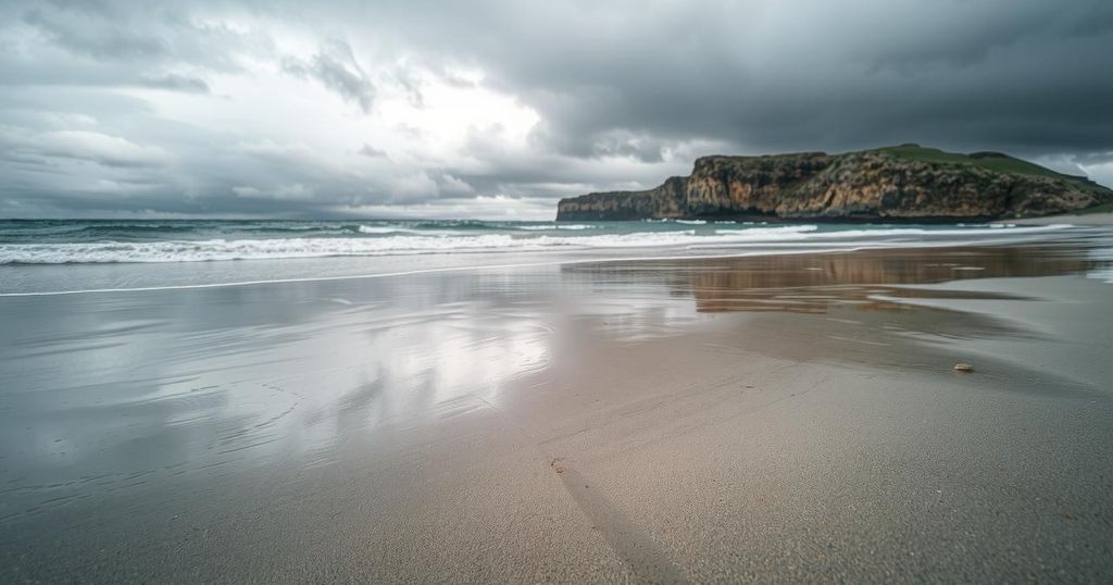
This weekend will be marked by dry and chilly weather, with Santa Lucia winds peaking on Sunday. Rain and strong winds are expected mid-week due to an approaching low-pressure system, bringing significant rainfall and a drop in temperatures. Dry weather will return next weekend alongside fluctuating surf conditions, with surface seawater temperatures ranging between 54 and 56 degrees until Friday.
This weekend will feature dry and chilly weather, with clear skies into Tuesday, although inland valleys may experience dense fog. Northeastern Santa Lucia winds are expected to peak on Sunday, with wind speeds ranging from 19 to 32 mph and gusts reaching 40 mph. Morning temperatures will be particularly cold, dropping to the high 20s inland and mid-30s along the coast, while daytime highs reach the low to mid-60s.
From Wednesday onwards, a shift in weather patterns will bring increased wind and rain as a vigorous low-pressure system is anticipated to affect the region. Gale-force northwesterly winds will develop along the coast, with speeds between 25 to 38 mph and gusts up to 45 mph. A cold front will approach on Thursday, causing heavy rain and potentially severe gusts, thus prompting residents to prepare for inclement weather.
Rainfall estimates suggest a total accumulation of 1.5 to 3 inches, with higher amounts possible in coastal mountainous areas. Snow levels will decrease to around 3,000 feet, and conditions are expected to transition to scattered showers by Friday as winds weaken and shift to the northwest. Following this active weather, dry conditions are projected to return next weekend, lasting through at least February 23.
The expected surf conditions will vary, with a 4- to 6-foot swell from the west-northwest over the weekend, escalating to 10- to 12-foot seas on Tuesday. Thursday will witness increased southerly winds generating 7- to 9-foot seas, followed by a decrease by Friday. Surface seawater temperatures will range between 54 and 56 degrees until Friday.
Historically, significant weather events have been recorded for this date, including extreme cold temperatures in Wyoming and Montana in 1933 and record-high temperatures in San Luis Obispo in 2018. Moreover, notable temperature discrepancies occurred in February 2022, illustrating the variability in winter temperatures between coastal and inland regions.
Local temperature forecasts include chilly nights and mild days, with Santa Ynez, Santa Maria, and Lompoc expected to experience a range from the high 20s to mid-60s over the weekend and into the following week.
The Central Coast weather report for the upcoming weekend highlights a transition from dry and cool weather to a stormy pattern with strong winds and rain. The analysis of wind patterns and temperatures across different regions provides insights into the expected weather, which is influenced by a low-pressure system approaching the area. Historical data on temperatures and significant weather events offer context for the forecasted conditions, serving as a reminder of the region’s climatic variability.
In summary, the expected weather across the Central Coast during this weekend includes dry conditions giving way to windy and wet weather mid-week. Residents should prepare for significant rainfall and gusty winds due to the approaching low-pressure system. Following this system, a return to dry conditions is anticipated, extending well into the following weekend, indicating a significant shift in local weather patterns.
Original Source: santamariatimes.com


