Cyclone Chido Devastates Mayotte: A Detailed Assessment of Damage and Impact

On December 14, 2024, Cyclone Chido wreaked havoc on Mayotte, with hurricane-force winds causing significant destruction to both the environment and infrastructure. Satellite images revealed stark differences in the landscape before and after the cyclone. Experts noted extensive damage to vegetation and critical resources, raising concerns over food supply and community stability.
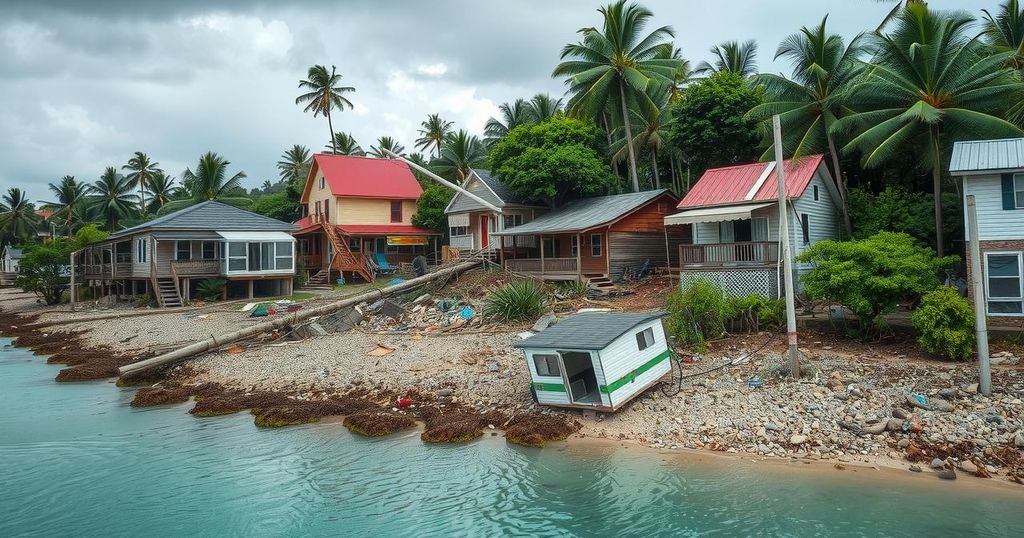
On December 14, 2024, Cyclone Chido devastated the islands of Mayotte, causing catastrophic damage that transformed the lush landscapes into stark remnants of destruction. The cyclone, equivalent to a Category 4 hurricane, unleashed hurricane-force winds that uprooted trees, tore roofs from homes, and downed utility poles. Satellite imagery captured the dramatic shift in the environment, with images illustrating the brown, ravaged land compared to the usual greenery observed just two months prior.
Jess Zimmerman, an ecology professor at the University of Puerto Rico, has extensively studied hurricane impacts on vegetation. After comparing satellite images, he unveiled the significant disruption to plant life, particularly on the hillsides close to the capital, Mamoudzou. The destruction was exacerbated by high winds, which stripped leaves and snapped branches, while heavy rainfall further destabilized trees in saturation-prone soils, especially on steep slopes.
A notable casualty of the cyclone was a 300-year-old giant baobab tree that collapsed onto a restaurant. Alongside it, a 3-meter mound of soil marked the site where an acacia tree once stood, a testament to the cyclone’s force. The destruction extended to agricultural crops such as banana trees, threatening the food supply of local communities, as highlighted in a humanitarian assessment report.
In addition to environmental damage, Cyclone Chido inflicted severe harm on critical infrastructure. The airport, hospitals, and roads sustained extensive damage, leading to significant disruptions in electricity, water, and communications services. An assessment by the European Commission pinpointed the northeast region of Grande Terre, where the cyclone made landfall, as particularly hard-hit by infrastructural devastation.
NASA Earth Observatory images aid in understanding the cyclone’s effects, illustrating not only the environmental impact but also the dire situation confronting the inhabitants of Mayotte due to this catastrophic climatic event.
Cyclone Chido struck Mayotte amid a well-documented history of tropical cyclones damaging ecosystems and infrastructure across different geographic regions. The island of Mayotte, located in the southwest Indian Ocean, has experienced similar cyclonic events before, but the recent devastation illustrates the escalating impact of such natural disasters on small island communities. The integration of satellite technology provided essential visual documentation of the damage, demonstrating how quickly landscapes can alter following extreme weather events.
In summary, Cyclone Chido has left a profound impact on Mayotte, transforming previously vibrant landscapes into devastated areas. The cyclone’s wind and rain not only destroyed vegetation and uprooted trees but also severely affected local infrastructure and food supplies. The consequences of such natural disasters underscore the vulnerability of small island communities and the critical need for sustainable disaster preparedness and response strategies.
Original Source: earthobservatory.nasa.gov


