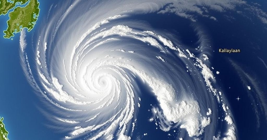
Tropical Depression ‘Romina’ Triggers Signal No. 1 in Kalayaan Islands

Tropical Depression Romina has entered the Philippine Area of Responsibility, prompting Wind Signal No. 1 over Kalayaan Islands. Currently located 365 kilometers south of Pag-asa Island, it is moving north-northeast at 30 kph with sustained winds of 55 kph. Significant wave heights of up to 4.5 meters are expected, and mariners are advised to seek shelter. Romina may strengthen briefly but is expected to weaken thereafter.
On December 22, 2022, the Philippine Atmospheric, Geophysical and Astronomical Services Administration (PAGASA) raised Tropical Cyclone Wind Signal No. 1 over the Kalayaan Islands as Tropical Depression Romina entered the Philippine Area of Responsibility (PAR). As of 11 a.m., Romina was located approximately 365 kilometers south of Pag-asa Island, Kalayaan, Palawan, moving north-northeast at 30 kilometers per hour. The depression is currently generating maximum sustained winds of 55 kph, with gusts reaching up to 70 kph.
The issuance of Wind Signal No. 1 suggests that there may be minimal to minor impacts from strong winds, particularly in coastal and elevated areas that are exposed to prevailing wind directions. These regions are expected to experience stronger winds compared to those that are more sheltered. There is a possibility that if Romina intensifies, the highest wind signal projected may escalate to Signal No. 2.
PAGASA has also indicated that significant wave heights could reach up to 4.5 meters in the vulnerable coastal waters of Batanes, Babuyan Islands, Ilocos Norte, and Kalayaan Islands. Mariners are strongly advised to remain in port or seek immediate shelter if already at sea until conditions improve. Other regions forecasted to experience rough seas include parts of Northern and Eastern Luzon, as well as areas along the coasts of Camarines Norte and Surigao del Sur, where wave heights may range between 3.0 and 4.0 meters.
As Tropical Depression Romina progresses, it is expected to alter its course, initially moving north-northeast before shifting to a north-northwest direction later in the day and subsequently west-northwestward in the following days. The system is predicted to pass close to the southern portion of the Kalayaan Islands within 24 hours. Although it may strengthen into a tropical storm within the next twelve hours, a gradual weakening to a tropical depression is anticipated thereafter.
In light of these developments, individuals in the affected areas are encouraged to exercise caution and remain informed of updates from PAGASA regarding the changing weather conditions and preparedness measures.
Tropical cyclones are a significant weather phenomenon in the Philippines, affecting weather patterns, sea conditions, and overall climate. Understanding the behavior and impact of tropical depressions helps assess risks and prepare adequately for potential dangers, especially in coastal regions. The elevation of wind signals serves as a crucial warning system to ensure public safety and minimize risks associated with tropical weather events. PAGASA plays a vital role in monitoring these systems and providing timely warnings to the public.
In conclusion, Tropical Depression Romina has entered the Philippine Area of Responsibility, prompting PAGASA to raise Wind Signal No. 1 over the Kalayaan Islands. The depression poses potential minimal to minor impacts due to strong winds and hazardous sea conditions. It is crucial that mariners heed caution and that residents remain vigilant as Romina progresses and possibly intensifies before weakening.
Original Source: www.philstar.com


