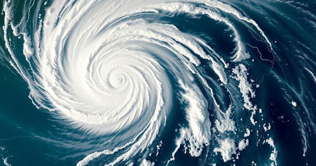
Tropical Cyclone Chido: A Historic Weather Event Impacting Agalega and Surrounding Regions

Tropical Cyclone Chido struck Agalega on December 12, 2024, as one of the strongest cyclones in over 50 years. With wind speeds reaching 222 km/h (138 mph), it is now heading towards Madagascar, Mayotte, and Mozambique, causing concerns of significant weather deterioration. The cyclone is expected to weaken upon reaching Madagascar but will still pose risks to nearby regions.
On December 12, 2024, Tropical Cyclone Chido made landfall on Agalega, marking it as the strongest cyclone to impact the island in over 50 years. The cyclone rapidly intensified from wind speeds of 111 km/h (69 mph) to 222 km/h (138 mph) within a 24-hour period before hitting the island. Following its landfall, Chido is expected to move towards Madagascar, Mayotte, and Mozambique, with forecasts indicating significant weather deterioration in these areas as it approaches.
Tropical Cyclone Chido formed in the Southwest Indian Ocean on December 10, 2024, and quickly escalated in strength. By December 12, it made landfall over Agalega North Island as a category 4-equivalent intense tropical cyclone. Previously, the last cyclone to hit the island with such intensity was Cyclone Andry in 1983, which resulted in fatalities and extensive property damage. The enhanced infrared imagery indicated a compact eye of about 11 km (7 miles) wide surrounded by stronger convection, confirming its severe nature.
Predictions suggest that Chido will pass near the northern tip of Madagascar on December 13, and subsequently approach Mayotte. On December 15, the cyclone is expected to make landfall in Mozambique, particularly near Nacala. Although the cyclone may weaken upon reaching Madagascar due to cooler ocean temperatures and potential eyewall replacement cycles, it is still anticipated to maintain powerful wind speeds of 130 – 150 km/h (80 – 95 mph) upon reaching land.
As conditions deteriorate beginning Friday, northern Madagascar residents should prepare for heavy rains, strong winds, and dangerous seas. Likewise, Mayotte has already been placed on cyclone pre-alert, indicating significant weather disruptions are imminent. Strong winds, torrential rainfall, and possible coastal flooding are anticipated for the Comoros as well. Due to the cyclone’s evolving nature and uncertainties, local authorities recommend residents monitor updates from official meteorological services to stay informed about potential impacts.
At present, Tropical Cyclone Chido is approximately 920 km (570 miles) ENE of Mayotte, with maximum wind speeds recorded at 215 km/h (135 mph), gusting to 295 km/h (185 mph), and a minimum central pressure of 936 hPa. As the situation progresses, a clearer picture of landfall locations and the full extent of damages will emerge.
Tropical cyclones are severe weather systems that pose significant threats to island nations, often bringing about disastrous consequences. Tropical Cyclone Chido’s rapid intensification and the resulting impact on Agalega serve as a stark reminder of the increasing severity and frequency of such events in the Indian Ocean. Understanding the trajectories and behaviors of these systems is crucial for timely warnings and preparation measures to safeguard populations in their path.
In summary, Tropical Cyclone Chido represents a significant meteorological event, impacting Agalega as the strongest cyclone in over 50 years. As it continues on its trajectory towards Madagascar, Mayotte, and Mozambique, local governments are urged to issue necessary alerts to ensure the safety of residents. The need for diligence in monitoring weather updates cannot be overstated, given the potential for severe weather conditions and substantial impacts over the coming days.
Original Source: watchers.news


