Potential Tropical Cyclone #19: Current Situation and Forecast Overview

Potential Tropical Cyclone #19 is expected to develop into a tropical storm by Thursday, causing significant rainfall and flooding in Central America. Winds are at 30 mph, with strengthening anticipated. The Gulf impact remains uncertain, and warnings have been issued for parts of Honduras and Nicaragua.
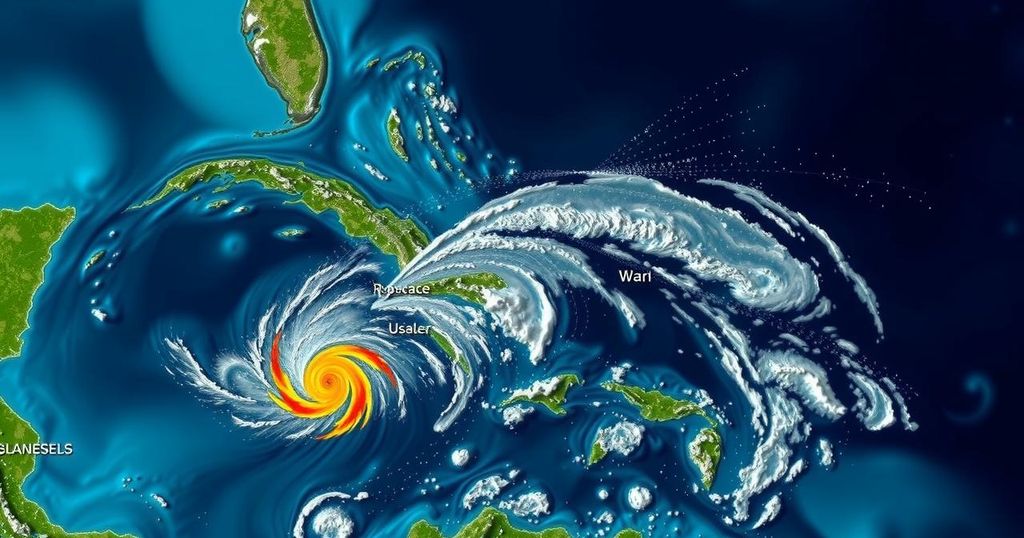
As we observe Potential Tropical Cyclone 19, currently meandering in the Caribbean, meteorological experts advise patience in understanding its future trajectory. Forecasts suggest that it may develop into a depression or Tropical Storm Sara by Thursday afternoon, potentially leading to significant flooding in central America due to its expected stationary position over the weekend. Preliminary forecasts indicate maximum sustained winds near 30 mph, with stronger gusts, and strengthening is anticipated as the system approaches the coast of Central America. The potential impacts on southwest Florida remain uncertain at this stage. Predictions regarding the system’s emergence into the Gulf of Mexico depend heavily on its interactions with an approaching weather front and a trough of low pressure projected for early to mid-next week. Thus, while this situation merits close monitoring, immediate concerns for residents in the area remain limited. Central America, particularly northern Honduras, is at high risk for severe rainfall, with projections estimating 10 to 20 inches, and isolated storm totals reaching up to 30 inches. This deluge is likely to initiate hazardous flash flooding and mudslides in vulnerable regions, especially alongside the Sierra La Esperanza. Alongside this, other areas such as Belize, El Salvador, and parts of Guatemala can expect 5 to 10 inches of rain, with the potential for localized totals of 15 inches, resulting in significant flash flooding risks. Associated with the storm are significant wind and surge threats, with forecasts indicating hurricane conditions by Friday and the possibility of tropical storm conditions starting late Thursday. The storm surge is also expected to elevate water levels by 1 to 3 feet above normal along the northern coast of Honduras, exacerbated by destructive waves. In response to these threats, Honduras has issued a Hurricane Watch for the region extending from Punta Castilla to the Honduras/Nicaragua Border, while Nicaragua has put a Tropical Storm Watch into effect from the border southward to Puerto Cabezas.
Tropical cyclones, including their pre-formative stages, are critical weather phenomena characterized by low-pressure systems that can develop into severe storms impacting large coastal areas. The tracking and forecasting of these systems require expertise in meteorological science, particularly as initial stages, such as Potential Tropical Cyclone #19, are monitored for changes that could lead to intensified weather events. The implications of these systems can range from flooding to wind damage, necessitating timely warnings and preparedness by affected nations, especially in vulnerable regions like Central America.
In summary, Potential Tropical Cyclone #19 presents significant risks, particularly for Central America, with forecasts indicating severe rainfall and flooding potential that could lead to life-threatening conditions. While the potential impacts on southwest Florida are uncertain at this time, monitoring the cyclone’s progression remains crucial. As the situation develops, authorities will continue to issue guidance and warnings to mitigate risks associated with this weather system.
Original Source: www.fox4now.com


