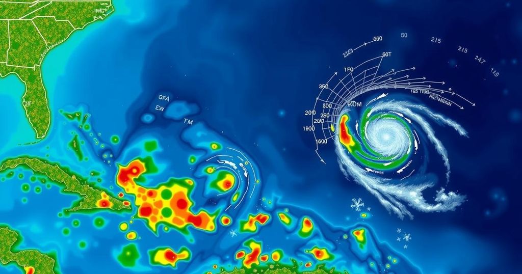
Hurricane Oscar: A Case Study in Predictive Challenges of Tropical Storms

On Friday night, a tropical wave had a mere 10% chance of strengthening, but by Saturday lunchtime, it became Hurricane Oscar. The models failed to predict this transition, but human analysts and reconnaissance flights enabled timely warnings just before landfall. The case illustrates the challenges of forecasting small storms, which can develop unexpectedly and may evade detection by computer models, necessitating improved forecasting methodologies.
On Friday evening, a chaotic tropical wave situated to the east of Puerto Rico was assessed to have merely a 10% likelihood of intensifying during the weekend. However, by midday Saturday, it escalated to a Category 1 hurricane on a collision course for the Bahamas. This swift transformation raised inquiries regarding the oversight by predictive computer models, which largely underestimated the storm’s development. Meteorological experts indicated that the diminutive storm evaded the scrutiny of many significant storm forecasting models. Nevertheless, keen observers, including pilots and researchers collecting real-time data, were able to issue warnings prior to Hurricane Oscar’s landfall. Philippe Papin, the National Hurricane Center forecaster on duty on Saturday morning, identified anomalies while analyzing passive microwave imagery, a type of satellite data crucial for viewing developments beneath cloud cover. He noted distinct signs of a budding tropical storm, stating, “It became pretty clear that a small circulation was developing. We had to shift gear in a short period of time.” By 11 a.m., the hurricane center issued its initial forecast for what was then dubbed Tropical Storm Oscar, featuring a projected path directly impacting the Bahamas and Cuba. In response, the Bahamas initiated a tropical storm warning. Concurrently, a rapidly assembled crew of Hurricane Hunters took to the skies from St. Croix. In a little over an hour, they discovered a significantly altered system compared to their previous observations north of Puerto Rico. The reconnaissance flight did not detect tropical-storm-force winds until they were a mere 10 nautical miles from the storm’s center. Euler Papin remarked, “The typical time for issuing a watch is 48 hours of lead time. This was more like 12 to 24 hours. Obviously that is suboptimal.” Hurricane Oscar ultimately made landfall on Great Inagua Island in the Bahamas on Sunday morning, followed by its arrival on the eastern coast of Cuba later that evening. Initially, computer models had recognized the system that would evolve into Oscar as it emerged off the African coast more than a week prior. However, a surge of dry air led models to prematurely predict its failure to form into a tropical depression or any stronger system. Reconnaissance flights later confirmed the presence of only a tropical wave. By Friday, major storm models showed no expectations for any tropical storm formation in the Caribbean or Atlantic over the ensuing week. This situation changed dramatically by Saturday. “I think the models just had a hard time resolving the circulation before they got the reconnaissance in there,” stated Phil Klotzbach, a senior research scientist at Colorado State University who also authors its pre-seasonal forecast. He noted, “It’s not like the models didn’t have signals; they had them, and then they killed them off.” The reconnaissance data was incorporated into computer models soon after, and by mid-afternoon, Oscar began to emerge more clearly within the models. Papin observed, “Size is definitely an important part of the equation of why the models weren’t handling this storm so well.” Oscar was noted to be a small storm, albeit it did not reach the record sizes of other hurricanes documented since the National Hurricane Center began recording the radius of tropical-storm-force winds in 2004. Klotzbach indicated that Oscar had a radius of 34 nautical miles when it was officially designated as a hurricane on Saturday – smaller than storms like Humberto in 2007 or Jeanne in 2004. Though Oscar maintained a minimal 10% chance of formation, predicting small storms remains challenging. “These small storms are tricky,” Klotzbach concluded.
The article discusses the rapid intensification of a tropical system into Hurricane Oscar and the predictive challenges faced by meteorologists and computer models. This event illustrates the complexity of forecasting small storms, which can develop suddenly and evade detection by traditional predictive models. The involvement of human analysts and reconnaissance flights highlighted the importance of real-time data collection in issuing timely warnings and forecasts during tropical storm developments.
In summary, Hurricane Oscar’s abrupt transformation from a tropical wave to a hurricane within a short timeframe exemplifies the difficulties faced by meteorological models in detecting small storms. Even with initial forecasts predicting minimal threat, on-the-ground observations and airborne reconnaissance proved critical in alerting affected regions. This case underscores the need for continued refinement of forecasting techniques, particularly for small and rapidly changing weather systems.
Original Source: www.tampabay.com


