Current Tropical Disturbances and Their Impact on Florida
The National Hurricane Center is tracking Invests 94L and 95L, neither of which is expected to threaten Florida. Invest 94L is projected to impact Puerto Rico and Hispaniola with heavy rains, while Invest 95L may affect Central America and Mexico. Meteorologists anticipate a 50% chance of further development in the Caribbean over the next two weeks, although significant threats to the U.S. remain rare after late October.
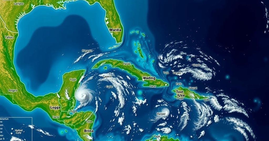
The National Hurricane Center is currently monitoring two weather disturbances, designated as Invest 94L and Invest 95L. Fortunately for Florida residents, these systems are not expected to pose any significant threat to the state at this time. Invest 94L was previously considered to have the potential to develop into Tropical Storm Nadine; however, it is anticipated to primarily affect Puerto Rico and Hispaniola with heavy rainfall and flooding. Invest 95L, which has also been identified as having the possibility of becoming Tropical Storm Nadine, is projected to bring heavy rain to Central America and Mexico this coming Saturday. While current advisories indicate low chances for the development of both invests, there are indications of a potential increase in tropical activity later in the month, especially in the western Caribbean. Colorado State University meteorologists predict a 50% likelihood for tropical development between October 15 and October 28, although any signals for significant systems are considered weak at this time. The advisory includes a forecast suggesting that upper-level winds may become favorable for tropical storms in the Caribbean by late October, coinciding with historically favorable warm sea temperatures. Despite these possibilities, it has been noted that no major hurricane has struck the U.S. after October 28, making significant late-season threats relatively rare. The National Hurricane Center’s tracking also clarifies the definition of an ‘invest’, which refers to areas of low pressure being analyzed for their potential to develop into tropical systems. Currently, aside from these two invests, there are no other disturbances noted in the Atlantic that warrant special attention. Residents are encouraged to stay informed and heed weather alerts as the season progresses.
During the Atlantic hurricane season, the National Hurricane Center plays a crucial role in forecasting and monitoring tropical disturbances. The tracking of invests, specifically designated ‘invest 90L’ to ‘invest 99L’, allows meteorologists to identify areas of potential tropical storm development. During this time of year, especially with climatologically warm oceanic temperatures, the likelihood of tropical cyclone formation can increase significantly. This makes the monitoring and updates from agencies such as the National Hurricane Center vital for public safety and preparedness. As we approach the end of the season, being informed about possible developments in the tropics is essential for the safety of coastal residents, particularly in states like Florida, which has experienced its share of hurricane impacts historically.
In summary, Florida residents can find solace in the current tracking of Invests 94L and 95L, both of which are not anticipated to pose immediate threats to the state. While there may be potential for tropical development in the western Caribbean later this month, historical patterns suggest that significant late-season hurricanes affecting the U.S. are uncommon. Continuous monitoring and adherence to National Hurricane Center advisories remain crucial as the Atlantic hurricane season continues into late October.
Original Source: www.news-journalonline.com


