Current Status of Tropical Disturbances Invest 94L and 95L: Impacts and Projections
The National Hurricane Center is monitoring two disturbances, Invest 94L and Invest 95L, neither of which threatens Florida. Invest 94L is forecasted to cause flooding in Puerto Rico and Hispaniola, while Invest 95L may affect Central America. Forecasts suggest no tropical development for the next ten days, providing assurance to communities recovering from recent hurricanes. Potential tropical activity may be observed in the Caribbean later in October, but any storms are unlikely to reach the U.S.
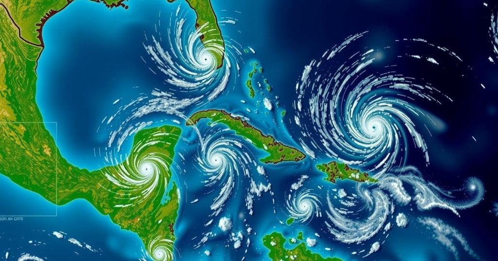
The National Hurricane Center (NHC) is currently monitoring two disturbances, designated as Invest 94L and Invest 95L. Neither of these systems is projected to pose a significant threat to Florida at this time. Invest 94L, which previously showed some potential for development into Tropical Storm Nadine, is expected to affect Puerto Rico and Hispaniola with heavy rainfall. On the other hand, Invest 95L exhibits some potential to evolve into either a short-lived tropical depression or Tropical Storm Nadine, but it is likely to impact Central America and Mexico this coming Saturday. According to Colorado State University meteorologists, no substantial tropical development is anticipated over the upcoming ten days, providing reassurance to those recovering from hurricanes Helene and Milton. Notably, the next named storms for this hurricane season will likely be Nadine and Oscar. Meteorological forecasts indicate a general 50% chance of tropical development in the western Caribbean from October 15 through October 28, although the likelihood of development from both Invests 94L and 95L remains low. The environmental conditions in the Caribbean may lead to further growth of tropical cyclones, particularly noting that wind shear anomalies are expected to be below normal. However, authorities warn that any potential storms forming later in October are not anticipated to threaten the continental United States. Invest 94L is characterized by a disorganized trough of low pressure impacting the northern Leeward Islands and moving toward Puerto Rico and Hispaniola, with minimal chances of development over the next week. Meanwhile, Invest 95L is creating showers and thunderstorms in the northwestern Caribbean, with some potential for short-term development before making landfall in Mexico. Furthermore, the NHC has stated that no other disturbances are being tracked in the Atlantic basin at present, and the likelihood of a tropical cyclone developing post-October 28 in Florida is historically low. It is emphasized that although the Atlantic hurricane season continues until November 30, residents should remain vigilant as meteorological patterns develop, especially as the peak activity period has passed.
This article outlines the current status of tropical disturbances being monitored by the National Hurricane Center, specifically focusing on Invest 94L and Invest 95L. With both systems showing limited potential for affecting Florida, the article also includes insights on the broader context of the hurricane season, including statistical data regarding historical landfall patterns and recent storm activity. It underscores meteorological forecasts regarding tropical developments going forward, as well as the implications for communities in affected regions. The article draws attention to the importance of continuous monitoring of evolving weather patterns, particularly in the Caribbean, as well as the historical rarity of major landfalls in Florida after the end of October. By providing updates from meteorologists at Colorado State University and WeatherTiger, the article aims to inform readers about the current expectations for storm development, giving them relevant information and peace of mind as they approach the end of the hurricane season.
In conclusion, the National Hurricane Center’s tracking of Invest 94L and Invest 95L indicates that neither is currently a threat to Florida. Both disturbances are expected to direct their impacts toward areas outside the state, specifically Puerto Rico and Central America. With predictions suggesting no significant tropical developments in the coming days and a historic understanding of late-season storm activity, residents are encouraged to remain cautious yet reassured. Continuous updates will be provided as the meteorological conditions evolve. This hurricane season, while concluding, still requires attention as potential system formations may arise.
Original Source: www.news-journalonline.com


