Monitoring Tropical Disturbance Invest 94L’s Progress towards the Caribbean
Bryan Norcross discusses the tropical disturbance Invest 94L, which is currently moving through dry conditions in the tropical Atlantic. While development is not expected in the short term, conditions may improve by Friday as the system approaches the northeastern Caribbean. It remains critical for residents in affected areas to stay informed, despite the low threat to Florida.
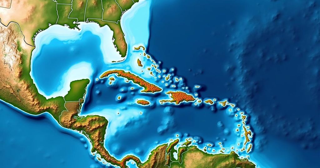
Bryan Norcross reports that the tropical disturbance known as Invest 94L remains in a challenging atmospheric environment as it moves westward across the tropical Atlantic. Currently, the air surrounding this system is excessively dry, which has hindered the development of thunderstorms integral for strengthening the system. In the upcoming days, the likelihood of development remains low; however, as the disturbance approaches the northeastern Caribbean islands by Friday, conditions are expected to become more favorable for potential development. This situation is atypical for this time of year, given that usually the ocean waters are cooling, upper-level winds become less accommodating, and jet stream dips redirect systems northward. The anomaly in this instance is attributed to unusually warm ocean temperatures and a persistent area of high pressure located north of the disturbance. Satellite imagery indicates that while most of the moisture remains limited, some towering thunderstorms are attempting to form near the center of what appears to be a disrupted circulation. The National Hurricane Center currently estimates a moderate chance of the disturbance developing into a tropical depression by the time it approaches the waters near or north of Puerto Rico and the surrounding islands. There is consensus among various computer forecast models that the system will likely reach this region by Friday. Potential outcomes, however, range from minor moisture surges to the development of a robust system with well-defined circulation. Moving beyond Friday, steering currents are anticipated to weaken, causing the system to drift near Puerto Rico, the Dominican Republic, Haiti, and the southeastern Bahamas, with the possibility of tropical storm or hurricane impacts for these areas. However, it is important to recognize that when steering flows are ambiguous, the tracking predictions become increasingly uncertain. Consequently, it is advisable for residents in Puerto Rico, the Virgin Islands, Hispaniola, the southeastern Bahamas, and adjacent islands to remain vigilant and well-informed throughout the week. Fortunately, there is currently no immediate threat to Florida, as a cold front situated near South Florida combined with a shift in the jet stream is projected to keep tropical systems at bay. Nevertheless, it is prudent to monitor the situation and allow for further definition of the disturbance to enhance forecasting confidence. As is commonly known, forecasts concerning the strength and track of underdeveloped and evolving tropical systems carry inherent uncertainties and are prone to change, requiring careful observation and analysis in the days ahead.
The tropical atmospheric dynamics and seasonal patterns can significantly influence the likelihood and intensity of storm development. During this period, tropical systems may face various environmental factors, such as cooling ocean temperatures and alterations in upper-level winds, which can inhibit their formation or redirect their paths. Historically, systems originating over Africa typically encounter hostile environments by the time they reach the Caribbean, particularly in the fall. Understanding the dynamics surrounding Invest 94L and its potential impacts necessitates an awareness of these complex atmospheric interactions.
In summary, Invest 94L is currently navigating through unfavorable atmospheric conditions, which are expected to shift by the end of the week as it nears the northeastern Caribbean. Although development remains unlikely at present, there is potential for progression into a tropical depression, necessitating continued vigilance among residents of affected regions as uncertainties regarding track and intensity persist. Ongoing monitoring and updates from credible sources will be essential as the situation evolves.
Original Source: www.foxweather.com