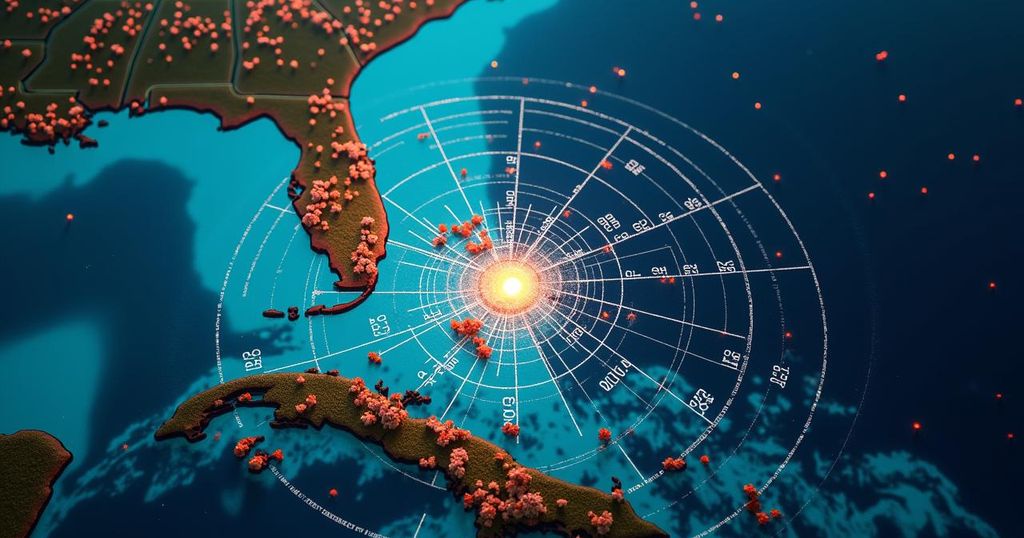
NHC Tracking Potential Tropical Storm Nadine as Florida Braces for Hurricane Milton

The National Hurricane Center is monitoring a potential Tropical Storm Nadine, occurring alongside Hurricane Milton, which is expected to make landfall in Florida. Both storms follow Hurricane Helene, which recently caused severe damage. The current tropical systems present an ongoing risk to coastal communities as the hurricane season remains active.
The National Hurricane Center (NHC) is currently monitoring a system in the Atlantic that could develop into Tropical Storm Nadine, as Florida prepares for the impending impact of Hurricane Milton. Hurricane Milton is projected to make landfall in the Tampa Bay area later today or early tomorrow, marking another challenge for a region recovering from recent storms, including Hurricane Helene, which wreaked havoc across the southern Appalachians two weeks ago, resulting in significant loss of life and property. Presently, four systems are being tracked in the Atlantic, including Hurricane Leslie, which is expected to remain in the open waters without affecting land, and a tropical wave near Cabo Verde. The system, designated as Invest 93L, is positioned approximately 300 miles west-southwest of Bermuda and is not expected to create any disturbances in Texas, irrespective of its potential development. While environmental conditions are becoming increasingly unfavorable for forming a storm, there remains a possibility of a short-lived tropical or subtropical storm emerging today as the system shifts northeast at a rate of 15 mph. Should Invest 93L progress into a tropical storm, it would become the 14th named storm of the current hurricane season, which has already experienced 13 named storms, including nine hurricanes—a notably active season that could yield a total of 17 to 24 named storms as predicted by forecasters earlier this year. Hurricane Milton is already affecting southern Florida, with tornado-producing supercells anticipated. Individuals residing along the west coast of Florida are urged to finalize their preparations, as life-threatening storm surges are on the horizon with landfall imminent near Tampa Bay or Sarasota. In addition to these developments, Disturbance 1 is projected to strengthen into Tropical Storm Nadine later today, largely tracking away from land. Meanwhile, Disturbance 2, forming as a tropical wave, is expected to move off the west coast of Africa with marginal conditions for development as it approaches the Cabo Verde Islands. The hurricane season typically spans from June 1 to November 30, during which the risk of tropical storms and hurricanes peaks.
This article provides an update on the current tropical storm activity in the Atlantic, primarily focusing on Tropical Storm Nadine and Hurricane Milton. With a historically active hurricane season underway, the NHC is closely observing several systems, noting the impact of previous hurricanes, including Hurricane Helene, which caused substantial damage and loss of life. The monitoring of current disturbances and their potential development signifies the ongoing threat posed by tropical storms during this season, emphasizing the need for preparedness among coastal communities. The article aims to keep the public informed of potential weather threats and the progression of these systems.
In summary, the Atlantic is currently experiencing significant tropical storm activity, with Tropical Storm Nadine potentially forming from Invest 93L and Hurricane Milton poised to impact Florida’s Gulf Coast. The hurricane season remains highly active, with communities urged to prioritize safety as they prepare for the consequences of these storms. Continuous monitoring and timely updates from the National Hurricane Center are essential as the season progresses.
Original Source: www.statesman.com


