Tropical Storm Milton Tracker: Path and Implications for Florida
Tropical Storm Milton has formed in the Gulf of Mexico, aiming toward Florida with expected hurricane-strength winds and heavy rain by Wednesday. It is the 13th named storm this hurricane season, which has already seen catastrophic impacts from Hurricane Helene, highlighting the severe risks associated with tropical storms in the Atlantic.
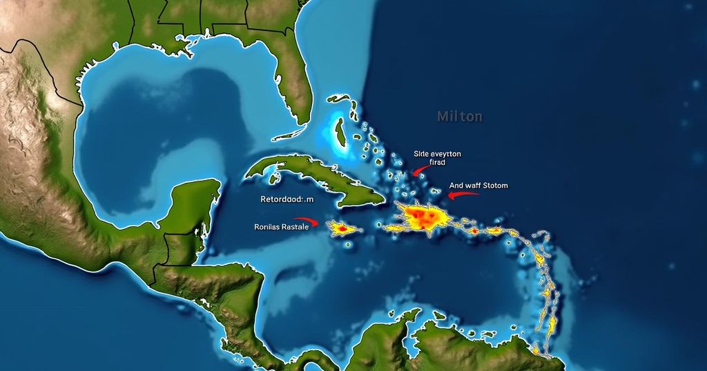
The National Hurricane Center has confirmed the formation of Tropical Storm Milton, which is traversing the Gulf of Mexico and is anticipated to impact Florida with hurricane-level winds and considerable rainfall by Wednesday. Milton marks the thirteenth named storm of the current hurricane season. As is commonplace with such storms, potentially severe effects may occur not only where the center makes landfall but also extend significantly to the north and south. If Milton maintains its current path and intensifies into a hurricane, it will become the second storm to strike Florida less than two weeks after Hurricane Helene, which hit with Category 4 intensity, causing record-breaking storm surges and resulting in over 220 fatalities from Florida to Virginia. Meteorological principles dictate that tropical cyclones in the Atlantic become hurricanes when they encounter optimal conditions for sustained winds. According to the National Hurricane Center, a cyclone must reach a wind speed of at least 39 mph for one minute to be classified as a tropical storm, and once it attains a speed of 74 mph, it is formally designated as a Category 1 hurricane, with classifications extending up to Category 5. The classification system is critical for forecasting potential risks and damage associated with these storms, allowing officials to issue warnings about the hazardous winds, precipitation, and flooding. Tropical storm-force winds pose significant dangers, with hurricane-force winds capable of devastating structures and propelling debris. Moreover, these winds can induce storm surges, where seawater is driven inland, presenting a serious risk to life, as such surges are the leading cause of hurricane-related fatalities in the United States, according to the National Weather Service. With cyclones progressing inland, flooding poses a major threat as excessive rainfall can lead to rapid water accumulation, overwhelming infrastructure and causing flash floods, which may persist for several days post-storm. Historically, hurricane season peaks around mid-September. This season has been forecasted by the National Oceanic and Atmospheric Administration to be one of the severest in decades, with predictions indicating the occurrence of 17 to 25 tropical storms, encompassing four to seven major hurricanes.
Tropical Storm Milton is the latest development in an ongoing hurricane season that has already seen significant activity. With Milton’s formation in the Gulf of Mexico, it follows closely behind Hurricane Helene, which resulted in widespread destruction and loss of life. The storm predictions and classifications outlined by meteorologists serve as essential tools for assessing risk and preparing coastal areas for potential disaster. The increase in storm severity and duration over recent years has raised concerns among experts regarding the impacts of climate change on hurricane patterns, making informed response essential for safety and mitigation.
In conclusion, Tropical Storm Milton has emerged as a significant weather system poised to affect Florida with potential hurricane conditions. The ongoing hurricane season presents a grim outlook, evidenced by prior storms like Helene, which inflicted devastating harm. Understanding how these storms develop, strengthen, and impact land is crucial for adequate preparation and response, emphasizing the need for vigilance in affected areas.
Original Source: www.washingtonpost.com